Underground Utility Locating/Concrete Structure Scanning Specialists
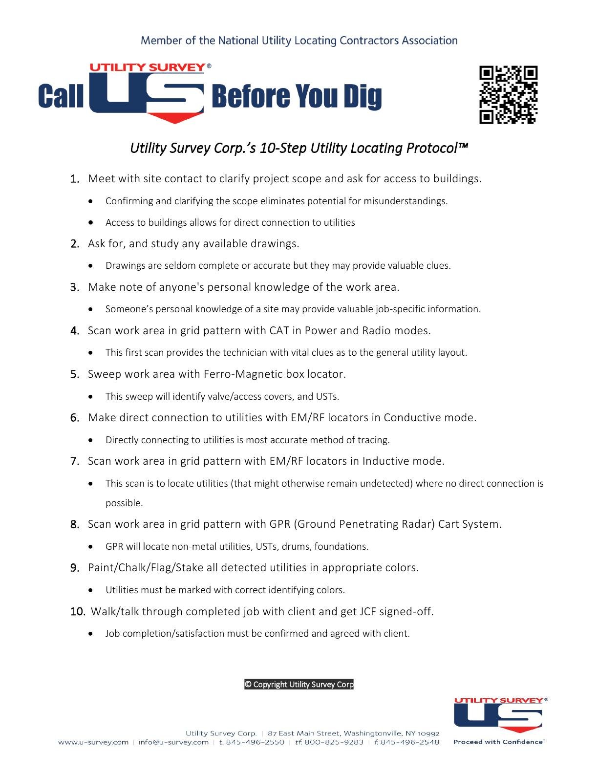
Tired of dealing with out of date and inaccurate prints? Interested in developing a more accurate up to date representation of your work site?Utility Survey Corp.’s 10-Step GPS Mapping Protocol™ could be exactly what your looking for!


