


Plans or drawings of underground utilities and other hidden underground objects must be accurate for safe excavating, trenching, or drilling work. Existing conditions are quite likely to differ significantly from the original plans. And, many properties have no plans at all! Utility Survey Corp. offers utility map updates as part of our utility mapping services to ensure that our clients always have the information they need. With our accurate utility maps, you can develop more efficient project planning for ground-intrusive works such as underground construction and utility repairs.
Utility Survey Corp. utilizes state-of-art GPS and Total Station technologies to map underground utility locations. With these technologies, our mapping can achieve the accuracy of 1cm, far better than those sub-meter GPS mapping systems. We can create CAD drawings of underground utilities from scratch, or update existing ones with new utility information. Also, our specialists can transform existing paper drawings into CAD file formats and can overlay aerial photographs with underground utility details. Our mapping service can be undertaken with, or separate from, our utility locating services.
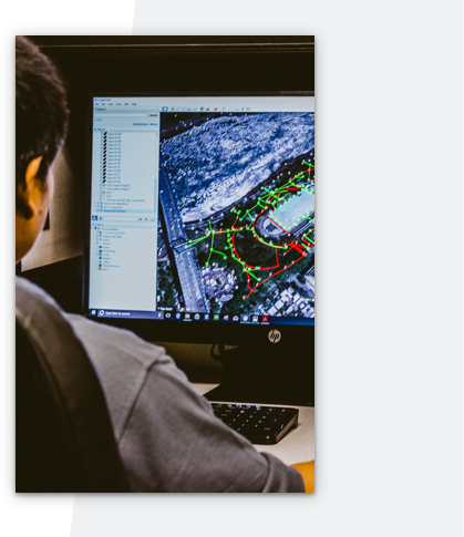
Besides simple positioning, we have also integrated the GPS technology into our ground scanning tools such as ground conductivity meter. The data collected through ground scanning are georeferenced and color contour maps indicating subsurface conditions can be generated. The subsurface mapping is particularly useful for underground utility locating in areas where ground penetrating radar (GPR) is not effective. These maps can be integrated into CAD drawings in varieties of coordinate systems such as State Plane and UTM. They can also be imported into Google Earth for viewing on top of aerial images for easy visualization of underground utility locations.
Besides underground utility locating, our subsurface mapping services are also successfully used in archaeological investigations, environmental investigations, cemetery mapping, forensic investigations, etc. The non-destructive subsurface mapping leaves the areas under investigation undisturbed. Normal activities at the site can operate as usual during subsurface mapping operations – no service disruptions, no damage, no costly repairs. For either simple underground utility mapping or complex subsurface imaging, we have the solution for you. Give us a call!
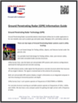
Find out more about the Power of GPR in our GPR Information Guide, including a picture of an actual GPR image.
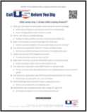
Check out our 10-Step Utility Locating Protocol™" to learn what we do for you!
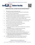
Check out our "10-Step Concrete Structure Protocol™" to learn what we do for you!
5 Assumptions That Can Kill Projects, Profits, and People
Find out more about the methodology used in our 10-Step Profiler Protocol™"
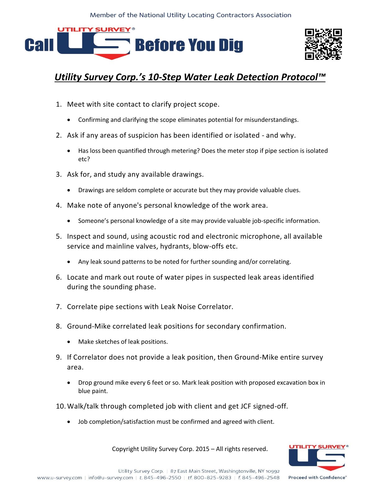
Utility Survey Corp.’s 10-Step Water Leak Detection Protocol™ will answer your questions!

You can also call US toll-free on
800-825-9283

 845-496-2550 845-496-2548


87 East Main Street
Washingtonville,
NY 10992


